Idaho's Frank Church–River of No Return Wilderness is the largest contiguous roadless area in the Lower 48 — 2.4 million acres where the only way in or out is on foot, horseback, or by river. Combined with the adjacent Selway-Bitterroot Wilderness, central Idaho contains nearly 4 million acres of unbroken wilderness. If there's one state that defines "off the grid", this is it.
Explore Idaho on the Map →Free to use · No signup required
Idaho has the seventh-lowest population density in the US at just 20 people per square mile — and most of those people live in the southern valleys around Boise. Central Idaho is a different world: a maze of deep river canyons, granite peaks, and ponderosa pine forests that has remained essentially roadless since the wilderness designation in 1980. The Salmon River — the "River of No Return" — cuts through canyons deeper than the Grand Canyon, and the only way to cross the central wilderness is by rafting it.
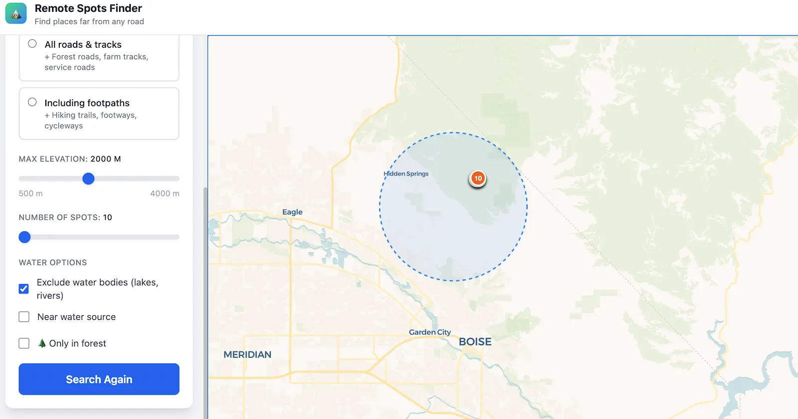
For off-grid planning and preparedness, Idaho is arguably the top state in the Lower 48. The scale of roadless terrain is unmatched, water is abundant (the Salmon, Selway, Lochsa, and Middle Fork systems), forest cover is dense at most elevations, and the climate — while harsh in winter — supports year-round habitation with preparation. Our tool quantifies exactly how remote each point is, turning Idaho's vast backcountry into a searchable dataset of GPS coordinates.
The crown jewel. At 2.4 million acres, it's the largest wilderness in the Lower 48. The Salmon River Mountains at its core contain points that are over 20 miles from the nearest road in any direction — and with no trails to many of these areas, they're among the most inaccessible spots in America. The Middle Fork of the Salmon River is a world-class whitewater run and the only practical way to traverse the heart of the wilderness. Search around 45.0°N, 114.8°W with a 50 km radius for extraordinary results.
1.3 million acres straddling the Idaho-Montana border. The Selway River drainage is one of the most pristine in the country, with old-growth cedar and white pine forests, clear streams, and very few visitors. The Bitterroot Mountains along the border reach over 10,000 feet and form a natural wall that makes this area extremely difficult to access from the east. Combined with the Frank Church to the south, the total roadless complex exceeds 3.5 million acres.
The Sawtooth Range is Idaho's most dramatic mountain scenery — jagged granite peaks rising above alpine lakes. The wilderness is "only" 217,000 acres but connects to the Cecil D. Andrus–White Clouds Wilderness and vast National Forest land to form a much larger roadless area. Stanley, Idaho — the nearest town — has a population of about 60 people. The upper Salmon River headwaters here provide excellent water access year-round.
Often forgotten because it neighbors the much larger Frank Church, the Gospel Hump Wilderness adds 206,000 acres of roadless terrain northwest of the River of No Return. Dense forests, high ridges, and the Salmon River canyon edge make this area particularly interesting for those seeking forest cover and concealment close to a major water system.
A completely different landscape: high desert canyons, sagebrush steppe, and volcanic rock. The Owyhee region along the Oregon-Nevada border is some of the most empty BLM land in the West — with almost no trees but enormous distance from any road or settlement. The Bruneau and Jarbidge river canyons cut deep gorges through the plateau. For those who want maximum distance from infrastructure in an arid environment, this is your target.
Idaho is exceptionally permissive for dispersed camping. Over 60% of the state is federal public land — National Forest, BLM, and Wilderness. Dispersed camping is free and requires no permits on National Forest and BLM land, with the standard 14-day stay limit. Idaho's BLM offices allow personal property to be left unattended for up to 12 months in certain areas (an unusually long allowance compared to most states).
The designated Wilderness Areas (Frank Church, Selway-Bitterroot, Sawtooth) do not require entry permits in Idaho, but group size limits apply. Motorized and mechanized equipment (including mountain bikes) is prohibited. Some popular trailheads require a Northwest Forest Pass for parking. Fire restrictions are routine from mid-July through September — always check with the local Ranger District.
Idaho's central wilderness is not forgiving terrain. The Salmon River canyon country is extremely steep and rugged — off-trail travel is slow, exhausting, and often dangerous. River crossings during spring runoff (May–June) can be fatal. Rattlesnakes are common at lower elevations, and black bears and mountain lions are present throughout. Grizzlies have expanded into parts of central Idaho from the Yellowstone and Northern Continental Divide ecosystems.
For long-term planning: Idaho's lower elevations (3,000–5,000 feet) along river corridors offer the best year-round habitability — warmer winters, reliable water, and game animals. Higher elevations are snowbound from November through May. The ponderosa pine and Douglas fir forests at mid-elevation provide excellent building material and firewood. Our tool helps you pinpoint exact coordinates within these zones that maximize distance from roads while meeting your terrain requirements.
Pro tip: Idaho's National Forest roads (often numbered like "FR-XXX") provide the best access to wilderness trailheads. Many are rough gravel and impassable without high clearance. Plan your driving approach as carefully as your hiking route.
Find the most remote spots in the River of No Return. Data-driven coordinates, not guesswork.
Open the App — Idaho →