240 million acres of BLM land. 193 million acres of National Forest. Over 800 designated Wilderness Areas. America has more accessible backcountry than almost any country on Earth — but finding the spots that are genuinely far from roads takes data, not guesswork. We do the math.
Explore the USA on the Map →Free to use · No signup required
The United States contains some of the largest roadless areas in the developed world. The Thorofare region of Yellowstone — roughly 30 miles from the nearest road — is the most remote point in the contiguous 48 states. Idaho's Frank Church–River of No Return Wilderness covers 2.4 million acres with almost no roads at all. And Alaska pushes remoteness to another level entirely, with areas hundreds of miles from the nearest vehicle track.
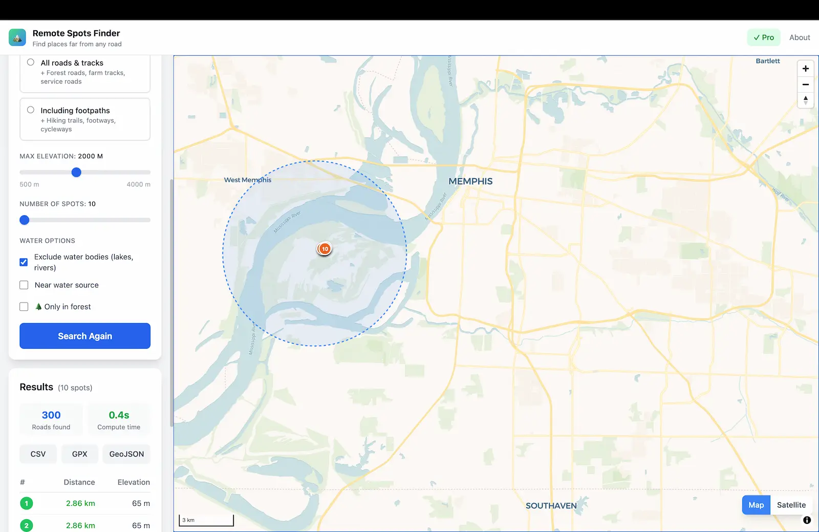
What makes America unique is not just the scale of its wilderness, but the access. Most BLM land and National Forest land is open for free dispersed camping — no permits, no reservations, no fees. You can drive to a forest road, hike in, and set up camp in some of the most remote terrain on the continent. Our tool calculates exactly where the furthest points from roads are, so you're not guessing from a topo map.
Find dispersed camping spots on BLM and National Forest land where you won't see another person. Identify the most secluded fishing spots, photography locations, or hunting base camps. Filter for forest cover and water proximity to find sites with natural shelter and a reliable water source. Export coordinates to your Garmin, phone, or paper map.
Systematically identify fallback locations and bug-out destinations based on hard data, not hunches. Our algorithm doesn't rely on crowdsourced campsite reviews — it calculates distance from every mapped road using OpenStreetMap, then ranks locations by actual remoteness. Combine with forest cover for concealment and water proximity for sustainability. Build a shortlist of coordinates for different regions, terrains, and seasons. Whether you're planning for natural disasters, grid failures, or simply want to know your options — this is the analytical tool that turns vague plans into precise GPS coordinates.
The Frank Church–River of No Return Wilderness is the largest contiguous wilderness in the Lower 48 at 2.4 million acres. Combined with the adjacent Selway-Bitterroot Wilderness, it forms a roadless complex of nearly 4 million acres. The Salmon River Mountains at its core are among the most remote terrain in the country. Search with a 50 km radius around 45.0°N, 114.8°W.
→ Idaho guideMontana's Bob Marshall Wilderness Complex covers 1.5 million acres along the Continental Divide. The "Chinese Wall" — a limestone escarpment deep in the backcountry — is one of the most iconic remote features in America. Southeast of here, the Yellowstone Thorofare holds the Lower 48's single most remote point, roughly 30 miles from the nearest road.
→ Montana guideThe Thorofare region of southeastern Yellowstone is the most remote spot in the Lower 48 — roughly 30 miles from the nearest road. The Wind River Range south of Yellowstone adds another massive block of roadless terrain with peaks above 13,000 feet, glacial lakes, and almost zero infrastructure.
Alaska is in a different category entirely. Gates of the Arctic National Park has no roads, no trails, and no visitor facilities across 8.4 million acres. The most remote point in Alaska is estimated to be over 200 miles from the nearest road. Our tool works here, though results depend on how well roads are mapped in the region — which, in most of Alaska, is excellent precisely because there are so few of them.
Colorado's Weminuche Wilderness (500,000 acres) and the Flat Tops Wilderness offer alpine remoteness in the Rockies. Utah's Canyonlands — especially the Maze District — is one of the most inaccessible places in the Southwest. The high desert of southern Utah and northern Arizona contains vast BLM land with very few roads.
Washington's North Cascades contains over 300 glaciers and some of the densest wilderness in the Lower 48. The Olympic Peninsula's interior — a temperate rainforest — is remarkably roadless. Oregon's Eagle Cap and Strawberry Mountain wildernesses add more remote territory with far fewer visitors than the more famous areas further south.
The US has one of the most permissive dispersed camping frameworks in the world. On most Bureau of Land Management (BLM) land and US Forest Service (USFS) land, you can camp for free without a permit — unless an area is specifically posted as closed to camping. This covers hundreds of millions of acres across the western states.
Key rules that apply almost everywhere: stay for a maximum of 14 days within any 28-day period, then move at least 25 miles. Camp at least 200 feet from water sources, trails, and roads. Use existing fire rings or a fire pan where fires are permitted — and always check current fire restrictions, as bans are common in the West during summer. Pack out all trash and waste. Vehicles must stay within 150 feet of designated roads.
Designated Wilderness Areas have stricter rules: no motorized vehicles, no mechanical transport, no structures. Entry may require a free permit during peak season (e.g., the Boundary Waters in Minnesota). National Parks generally do not allow dispersed camping — you'll need a backcountry permit and must use designated sites. Always check specific regulations for the land you're entering.
Remote Spots shows you the most remote coordinates on these public lands. Combine with apps like OnX or Gaia GPS to verify land ownership and access roads before heading out.
The Pro plan ($5, one-time) is strongly recommended for the USA. The 50 km radius is essential for scanning the vast wilderness areas, and the footpath filter helps you find spots that are remote not just from roads but from all human trails.
Precise GPS coordinates for the most remote spots in America. Based on road distance data, not guesswork.
Open the App — USA →