Big Sky Country has the second-lowest population density in the Lower 48 — just 7 people per square mile. It's home to the most remote point in the contiguous United States, the second-largest grizzly population, and millions of acres of roadless wilderness. This is where you go when you want to truly disappear from the grid.
Explore Montana on the Map →Free to use · No signup required
Montana contains three of the largest wilderness complexes in the contiguous US: the Bob Marshall, the Absaroka-Beartooth, and the southeastern corner of Yellowstone that holds the Thorofare — the single most remote point in the Lower 48 at roughly 30 miles from the nearest road. The state has more wilderness acreage than most entire countries.
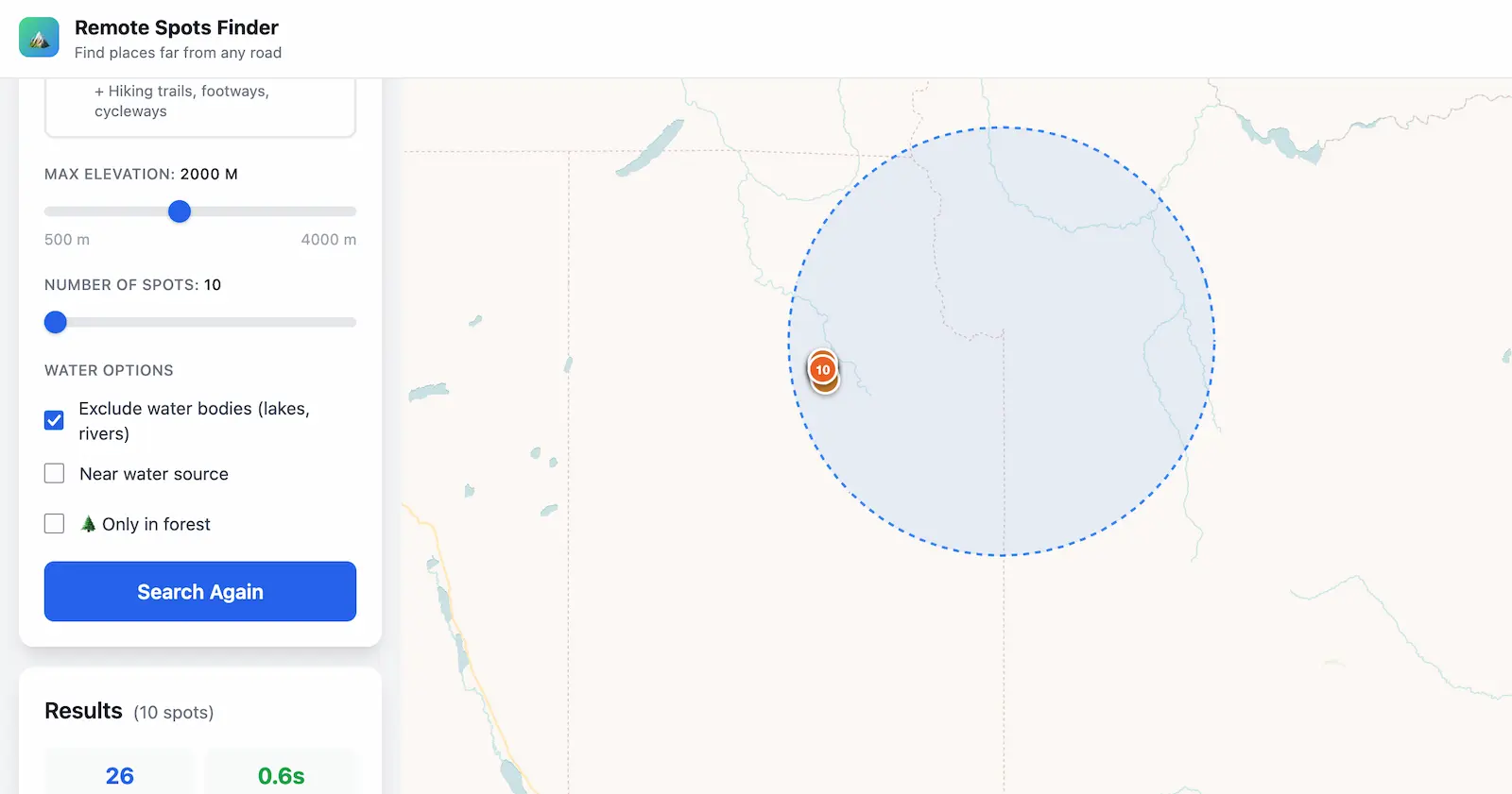
For off-grid planners, Montana offers a rare combination: extreme remoteness, abundant water (thousands of alpine lakes and streams), dense forest cover at lower elevations, and mild summers. The National Forest system covers roughly a third of the state, nearly all of it open for free dispersed camping. Whether you're scouting a long-term fallback location or planning a backcountry expedition, Montana delivers on every filter our tool offers.
1.5 million acres along the Continental Divide — the third-largest wilderness in the Lower 48. The "Bob" is bisected by the South Fork of the Flathead River and anchored by the Chinese Wall, a 1,000-foot limestone escarpment that stretches for miles deep in the backcountry. This area consistently produces remoteness scores of 15–25 miles from the nearest road. Dense lodgepole pine and spruce forests at lower elevations provide excellent concealment and shelter. Search around 47.6°N, 113.0°W with a 50 km radius.
The Thorofare region of southeastern Yellowstone extends into Montana and is widely cited as the most remote location in the Lower 48. The upper Yellowstone River meanders through meadows between the Two Ocean Plateau and the Absaroka Range — about 30 miles from any road. Access requires a multi-day hike or horseback expedition. Note: this is National Park land, so a backcountry permit is required. Search around 44.1°N, 110.1°W.
Nearly a million acres of high-altitude terrain with peaks above 12,000 feet, over 700 alpine lakes, and some of the most rugged landscape in Montana. The Beartooth Plateau is the largest contiguous area above 10,000 feet in the US. Forest cover is thinner at altitude, but the lower valleys — especially along the Boulder and Stillwater rivers — offer dense timber and reliable water.
Northwestern Montana's Cabinet Mountains Wilderness is smaller but incredibly dense — old-growth cedar and hemlock forests with high annual precipitation. The Yaak Valley to the north is one of the least-visited corners of Montana, with grizzly bears, wolverines, and very few people. Excellent for those prioritizing forest cover and water access over raw distance-from-road scores.
Often overlooked: eastern Montana's BLM grasslands and Missouri Breaks are vast, empty, and surprisingly remote. The terrain is open — no forest cover — but the sheer emptiness means huge distances from roads. Charles M. Russell National Wildlife Refuge alone covers over a million acres. A different kind of remoteness, but compelling for those who want maximum distance from infrastructure over concealment.
Montana has roughly 25 million acres of public land — about a quarter of the state's total area. Most National Forest and BLM land allows free dispersed camping with the standard 14-day-in-28 rule and a 25-mile relocation requirement. No permit is needed for dispersed camping on National Forest or BLM land outside of designated Wilderness Areas.
For Wilderness Areas (Bob Marshall, Absaroka-Beartooth, etc.), no permits are required for day hiking or camping in Montana — unlike some other states. However, group sizes are limited (typically 15 people and 35 stock animals), and motorized equipment is prohibited. Fire restrictions are common during July–September; always check current conditions with the local Ranger District before heading out.
Yellowstone National Park requires a backcountry camping permit for all overnight stays outside of developed campgrounds. Permits can be reserved in advance or obtained at a ranger station. Sites are designated — you cannot camp wherever you want inside the park.
Montana's wilderness is genuinely dangerous and demands preparation. Grizzly bears are present throughout western Montana — carry bear spray and know how to store food properly. Winter temperatures drop well below -20°F in the mountains, and snow can persist from October through June at higher elevations. River crossings are a serious hazard during spring runoff (May–July).
For those scouting fallback locations or emergency destinations: Montana's combination of public land access, abundant water, forest resources, and extreme remoteness makes it one of the top-tier states in the Lower 48. The key factors to evaluate are seasonal accessibility (many areas are snowbound 6+ months), distance from your starting point, and the specific terrain at your chosen coordinates. Our tool gives you the precise GPS location — but always ground-truth it with a site visit before committing to any plan.
Find the most remote spots in Big Sky Country. Precise coordinates, not guesswork.
Open the App — Montana →